Introduction
Hello! It is November, which means that it is the 30 Day Map Challenge 2022! GIS professionals, hobbyists, and general users of any skill are participating by creating maps with whatever software and data they have available.
I will be trying to complete as many days as I can this month, and will be using QGIS for most of the maps I make. I will be using data from a variety of sources:
- I’m taking this opportunity to explore the completely free Natural Earth Vector dataset
- Government databases such as BC Data Catalogue and Canada Open Data portal
- Any other source that I need! I will be listing these on the respective maps and map posts
Open Invitation

An image describing the #30DayMapChallenge theme of each day.
This post also serves as an open invitation to anyone that wants to join the challenge, and participate as much as you can! I am trying to complete as many days as I can - but if you only have time or ideas for 1 or 2 maps, any participation is great. I love seeing all the wonderful creations that people are making - we are only 6 days in and my ideas around design, style, font & colour choice, and also my geospatial datasets are expanding rapidly.
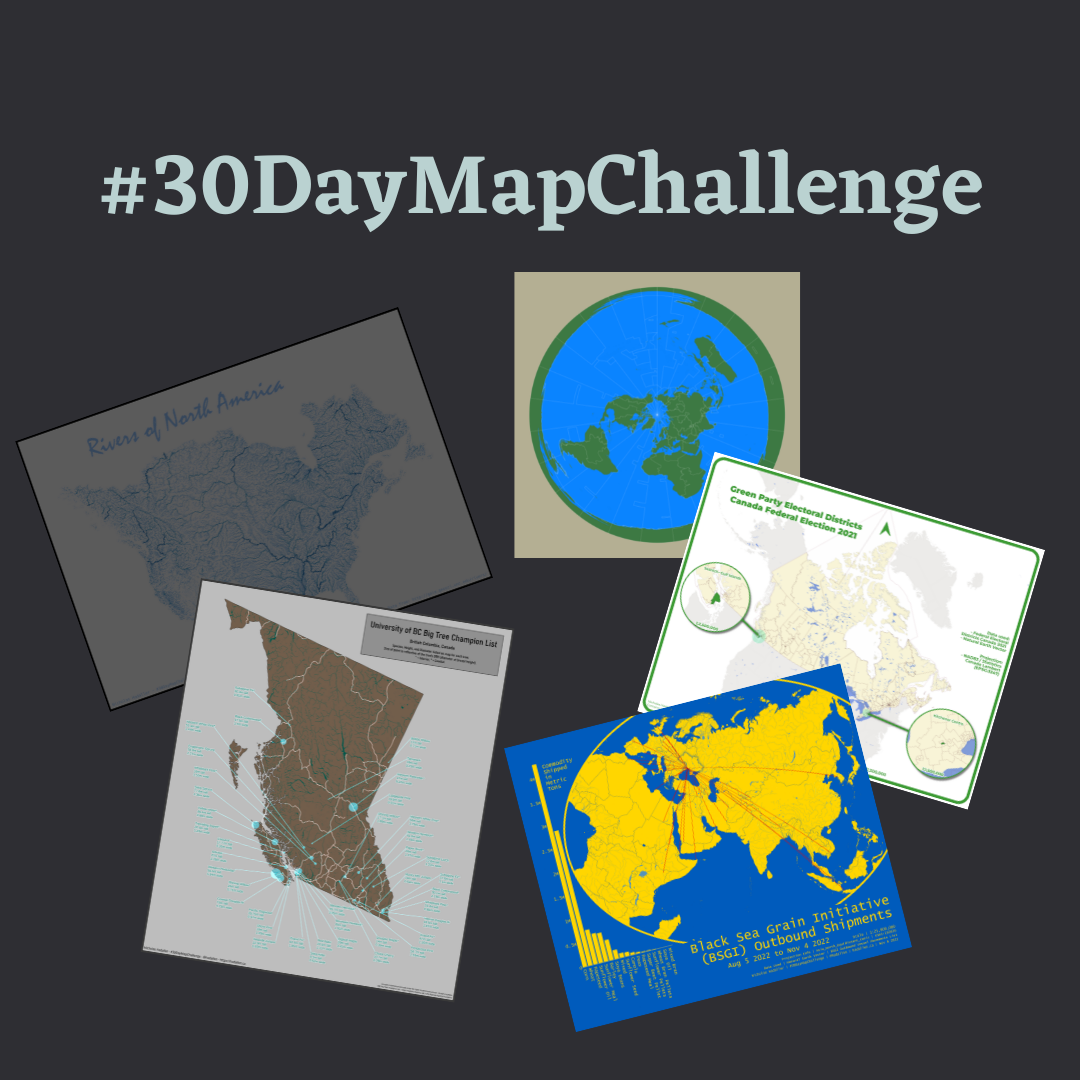
I’d like to use this space to show off my contributions to the #30DayMapChallenge. I will also slowly be expanding each map into it’s own page to describe the process of data acquisition and design.
Below is a slideshow of my maps for each day (subpages coming soon):
| Day | Theme | Map Idea |
|---|---|---|
| 1 | Points | UBC Big Tree Champion List |
| 2 | Lines | Rivers of North America |
| 3 | Polygons | Global Timezone Map (unfinished) |
| 4 | Green | Green Party Districs Canada 2021 |
| 5 | Ukraine | Black Sea Grain Initiative Shipments |
| 6 | Network | Roads of North America |
| 7 | Raster | Fraser River REM |
| 9 | Space | Space per Person by Country |
| 10 | Bad Map | Goodspeed River 30m REM |