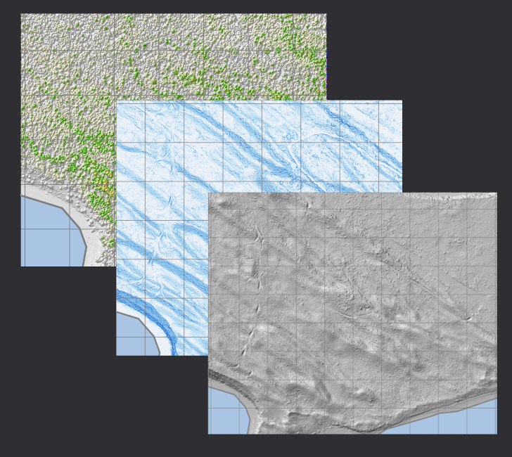
Savary Island LIDAR Processing
Introduction This week my boss asked me to gather and produce some LIDAR layers for the island that his family has a cabin on, and I thought it would be a great opportunity to show the workflow for processing compressed LAS point cloud data. You can download all of the files used in this tutorial by cloning this repository. Included in the repo are the JSON pipelines, the LAS tiles I used, and some scripts to run some of the steps I cover below....